p
Hi sir,
Thank you very much for your suggestion and your humble request. We really understand that clear navigation details, harbour routes, departure routes, and AIS targets are very useful for navigation.
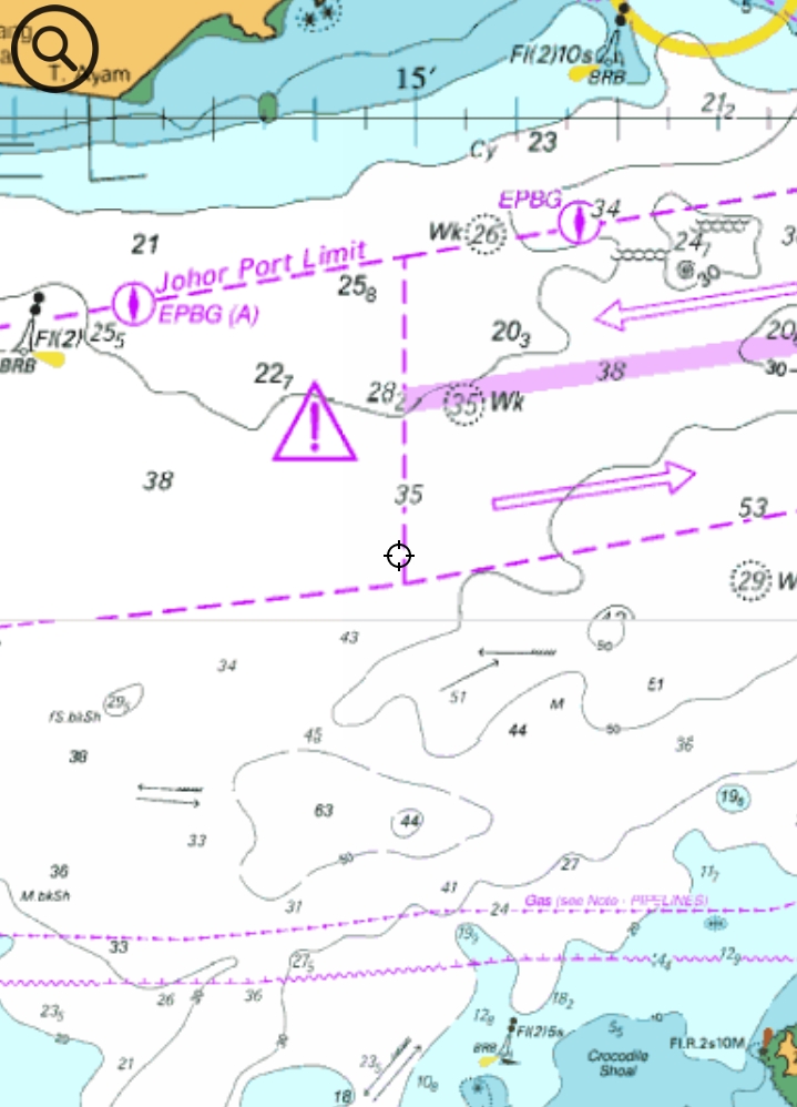
We have been following up on chart data sources for a long time. However, the situation is quite complicated because every country has different chart data sources, different licensing rules, and different pricing.
To be honest, if we want to provide detailed global charts, including harbour details and entry/departure route information, the licensing cost could be extremely high. It may cost around NZD 500,000 per year, and this is not a one-time cost — it would need to be renewed every year, with regular updates required as well. This is not something the app can afford at the current stage.
To be honest, I am just a software developer and a fishing enthusiast. I do not even own a boat myself. The original reason I built this app was because New Zealand did not have a good free marine chart app that was easy to use, so I decided to create one.
At the moment, New Zealand and the United States chart data can be used with free licensing. New Zealand currently has route and sonar/bathymetry data available in the app. However, for many other countries, I have not yet found free licensed data sources for detailed marine charts.
For AIS target display, this feature is already in our plan. We hope to show nearby vessels and boats around the user in the future. However, AIS integration also needs testing and a reliable data source, so it will take some time.
My current plan for missing route details is to build a community contribution system, where users can contribute route information and local navigation details. But this feature is still in the planning stage and will not be released very soon.
I will continue looking for chart data sources from different countries and improve the app as much as possible.
Thank you again for your understanding and support.
p
At this stage, I will need to close this ticket.
For the AIS feature, we will keep only one main ticket for tracking: “Please add AIS display”, so that all AIS-related requests can be followed up in one place.
For the chart detail and route information improvements, I will create a separate ticket later for the community contribution feature. This will allow users to contribute local routes and navigation details in the future.
 SEA CHART